Hiking is never boring, as it is fun and good for your physical and mental health, too. However, sometimes, it can get really challenging, and that is what makes it adventurous. There are some amazing hiking trails in Asheville, ranging from easy to moderate to very difficult.
Some of Asheville's most common trails and hikes are Richmond Hill Park Trail, Beaver Lake Perimeter Trail Loop, Big Berea Trail, Owl Ridge Trail, Bull Creek Trail, and White Pine Loop. In this article, we have listed 15 of the best trails and hikes in Asheville, which are:
1. Richmond Hill Park Trail
- Distance: 4.0 km
- Elevation Gain: 94 m
- Route Type: Loop
- Difficulty Level: Easy
Within Asheville's city borders, this path makes for an excellent walk or bike trip. The red and yellow pathways make up the loop. The route leads past an information board and into the woods from the parking lot. After proceeding straight ahead for almost a quarter of a mile, you will come to a four-way crossroads.
To finish the loop, turn right at this point and keep going left at all paths that connect. After that, the path comes to an end with a second loop that returns to the trailhead. In total, it should take you around 1 hour to finish the trail.
2. Beaver Lake Perimeter Trail Loop
- Distance: 3.1 km
- Elevation Gain: 10 m
- Route Type: Loop
- Difficulty Level: Easy
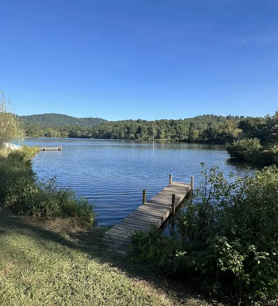
The public can use this private trail, which is kept up by the local community. Staying on the path and adhering to signage is crucial while traversing easements and rights-of-ways on private land. To provide public access to this area, private landowners and local government authorities collaborate.
By following the path when on private property, you can make sure that future public access to this trail is maintained and that agreements between local government representatives and the landowner are honored. To utilize the lake, ride a bike, or take a dog walk, you must get permission. It is quite a short trail so it won't take you more than 40 minutes to complete.
3. Shope Creek Road Loop
- Distance: 3.2 km
- Elevation Gain: 154 m
- Route Type: Loop
- Difficulty Level: Moderate
A high-clearance vehicle is advised due to the somewhat rough road that leads up to this route. This walk leads through a lovely forested region on a broad, historic forest service road. A picturesque brook with a little, falling waterfall flows alongside the road. The creek is serene.
Unfortunately, due to extensive damage from Hurricane Helene, this area is closed. Until the dangerous circumstances subside, all Pisgah National Forest recreation areas are closed. But it should reopen once it is maintained.
4. Owl Ridge Trail
- Distance: 8.7 km
- Elevation Gain: 123 m
- Route Type: Loop
- Difficulty Level: Moderate
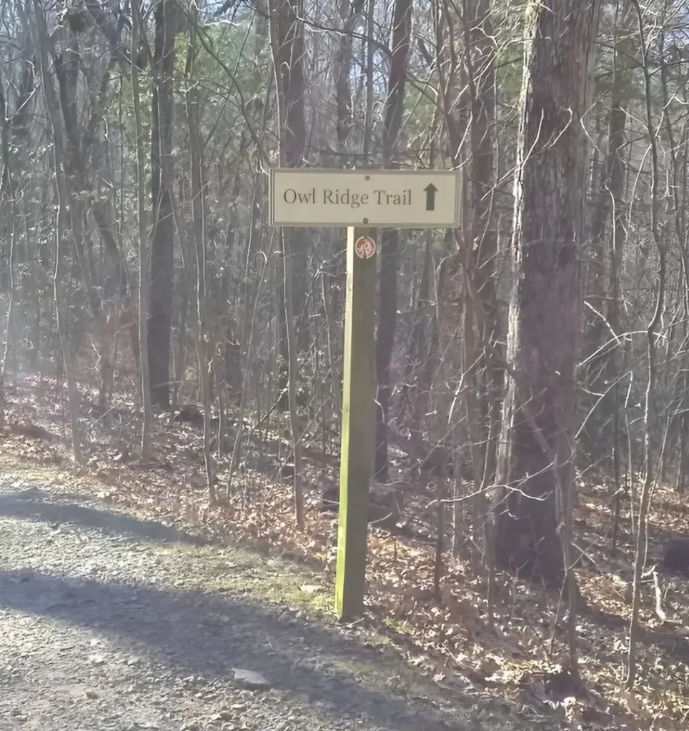
The Owl Ridge hike is a somewhat tough hike that leads to the North Carolina Arboretum. Hiking along the creek with little bridges and into the forest is quite pleasant. There's a broad gravel route with plenty of shade from trees.
At the creekside turnaround, there are steps that lead to a bench. At the trailhead, there is parking and toilet availability.
5. Bent Creek Network: Wolf Branch Loop Trail
- Distance: 6.6 km
- Elevation Gain: 118 m
- Route Type: Loop
- Difficulty Level: Easy
This trail is among the easiest trails in Asheville but it is an equally fun trail. A counterclockwise rotation of the loop can also be attempted. With lovely trees, this route is a great place to explore with friends and family. Since there are many insects and snakes in the area, you might want to bring bug repellent.
You will also encounter numerous mountain bikes and motorbikes along the trail, so be careful when trekking there as they could ride at high speed. If you want to spend some quiet time with yourself or your near and dear ones, it is preferable to go hiking in the afternoon.
6. Natural Garden, Bent Creek and Carolina Mountain Loop

- Distance: 4.3 km
- Elevation Gain: 64 m
- Route Type: Loop
- Difficulty Level: Easy
Another easy trail, they are really well maintained and properly marked. You won't find much crowd here as it's really peaceful. Similarly, the inclines are there but enough for anyone to handle hiking. Beautiful babbling creek and the entire trail is mostly shaded by trees.
The view and scenery that you can see from this trail are astonishing and you might occasionally see deer there but don't get scared and run away, mind your own business and they will mind their own too. Since this is a dog friendly trail, always keep your dog on a leash for the safety of other people around and your dog too.
7. French Broad River Greenway to New Belgium Brewery
- Distance: 14.3 km
- Elevation Gain: 66 m
- Route Type: Out & back
- Difficulty Level: Easy
The French Broad River Greenway goes all the way from Hominy Creek River Park to the New Belgium Brewery in Asheville’s River Arts District. This multipurpose path is well-liked for bicycling, skating, walking, and jogging. The trail is well-maintained and moderately level, with some nice river vistas along the way.
Along the whole path, there are many parking lots, including the Hominy Creek River Park lot. It takes around three hours to finish this enjoyable and simple walk. Since the trail is dog-friendly, you are welcome to bring your dog along, however they must always be kept on a leash.
8. Rice Pinnacle - Ledford Loop
- Distance: 7.9 km
- Elevation Gain: 133 m
- Route Type: Loop
- Difficulty Level: Moderate
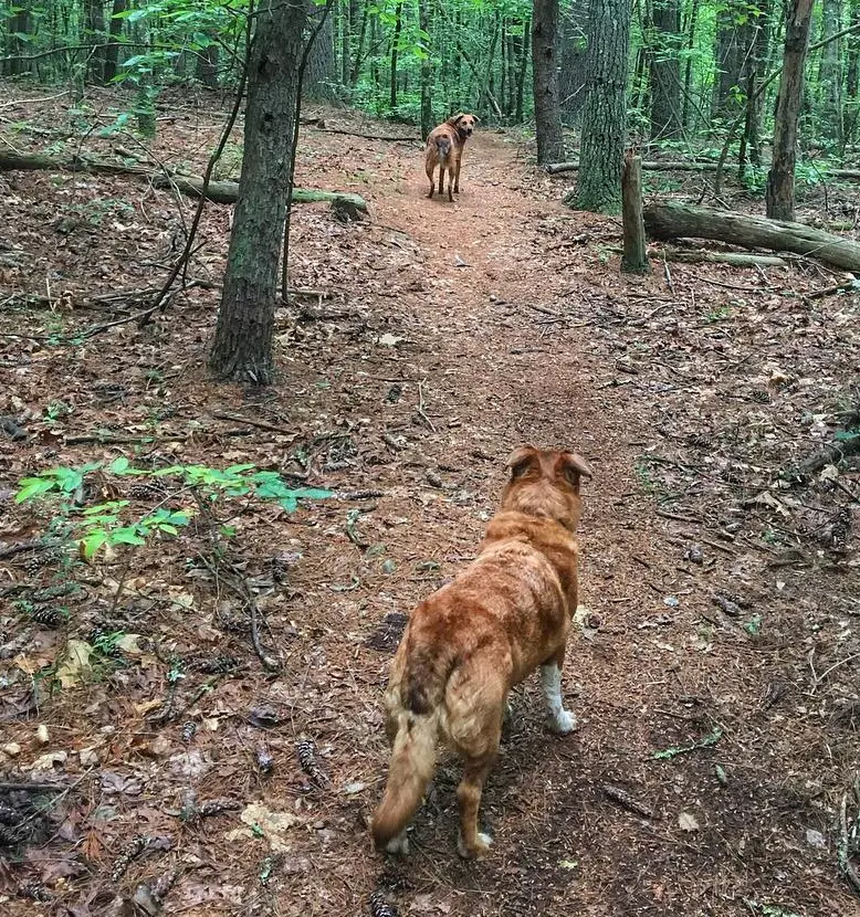
This moderately difficult trail, which is of 4.9 miles is one to go for the serene wooded trails of Bent Creek. This walk meanders through verdant woodlands, providing calming settings and opportunities to spot animals. This route is good for jogging and mountain biking, and it consists of large gravel roads and dirt paths.
The Rice Pinnacle Parking Area has parking available. It's an easy gradual elevation rise on a well-shaded track that's suitable for beginners riding mountain bikes. Dogs are welcome, but they must be kept on leashes for the safety of other people.
Some have reported it to be easy, even though it is classified as fairly tough. Hence, you will get to observe tons of mushrooms and wildflowers. However, some people have complained about seeing beers on this trail so be alert and visit safely.
9. French Broad River Greenway West Loop
- Distance: 5.0 km
- Elevation Gain: 14 m
- Route Type: Loop
- Difficulty Level: Easy
The French Broad River Greenway West Loop is considered an easy loop and has a 3.1-mile distance, it takes around 1 hour to complete the trail. There are quite a few shortcuts to customize your hikes accordingly, be it long or short. Beginning from Carrier Park, follow this beautiful and paved greenway trail along the French Broad River which offers stunning views of the area.
This path leads east from the park and eventually connects to the French Broad River Park before looping back. This is an ideal route for those looking for a simple bike ride or a flat running area. Look for beautiful sunny days rather than rainy days to avoid muddy road conditions.
In the morning time, you will see lots of crowds but to avoid them visit in the afternoon time. Since this is a dog friendly trail, you can bring them along with you but they must be on a leash.
10. Big Berea Trail, Bull Creek Trail, and White Pine Loop
- Distance: 2.9 km
- Elevation Gain: 51 m
- Route Type: Loop
- Difficulty Level: Easy
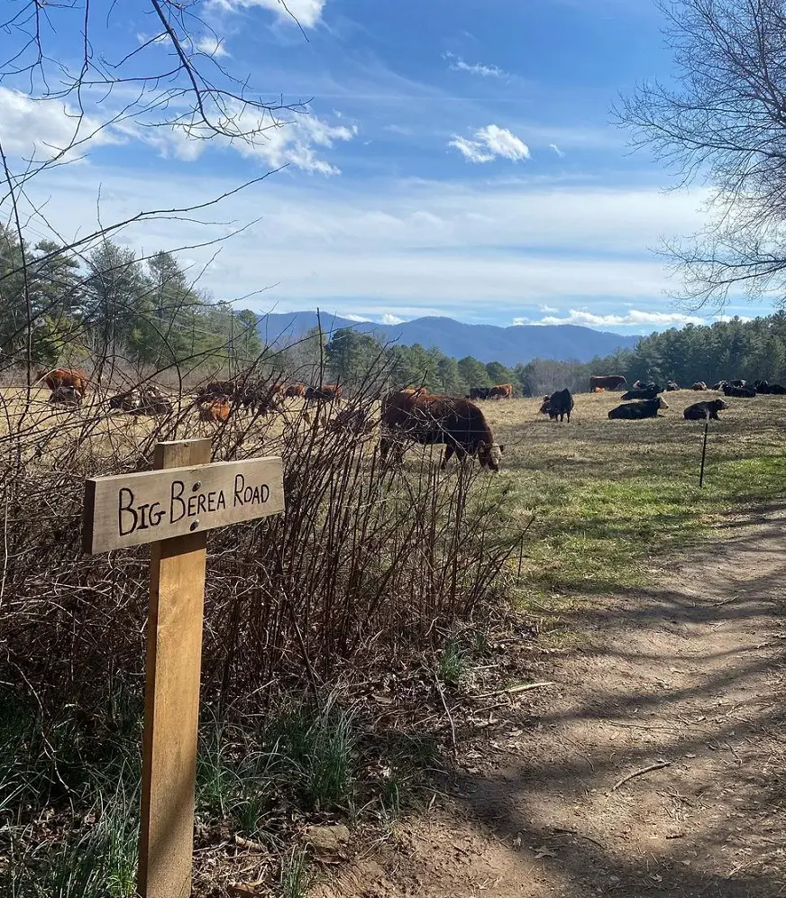
This 1.8-mile trail near Asheville, North Carolina, is another short trek that takes around 40 minutes to do. There are several places to access the water along this serene streamside route. About a mile in, there's a little waterfall that you can see by strolling over to the stone ledge or down to the creek.
It's a good and wise idea to download the map before you arrive because there isn't a lot of signage and there are many connecting paths. The White Pine Loop is a lovely woodland route; take in the scent of the pine trees as you walk along it. But there are quite a few spots to go into the river. The trail is dog-friendly but you can only take them if you leash them.
11. Mount Mitchell Trail
- Distance: 18.0 km
- Elevation Gain: 1,125 m
- Route Type: Out & back
- Difficulty Level: Hard
The Black Mountain Range's highest summit east of the Mississippi River is reached via the difficult Mount Mitchell route. Starting at the Black Mountain Campground, which is located north of Asheville along the Blue Ridge Parkway, the trail heads north from South Toe River Road.
The Briar Bottom Trail is first used on the journey before joining the Mount Mitchell Trail. From this point on, the route meanders through a thicket before climbing steadily to reach Mount Mitchell State Park. There is a division in the route, with one being 0.4 miles longer than the other, and it is around 0.3 miles from the Mount Mitchell parking lot or the park office to the trailhead.
To reach the summit parking area, use the Mount Mitchell Trail. The circular observation deck is only a short 0.1-mile trek on a paved route from the summit parking lot.
12. Rattlesnake Lodge Trail
- Distance: 6.3 km
- Elevation Gain: 269 m
- Route Type: Loop
- Difficulty Level: Moderate
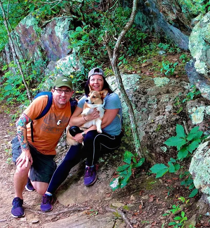
Just north of the Blue Ridge Parkway's curved meanders, this climb is among the better options in the area. This trip on the Mountains to Sea Trail follows an ancient gravel road through picturesque woodland, stopping at an angled rock outcrop for stunning views over the Parkway.
The journey explores the stacked-stone foundations of the lodge, swimming pool, barn, and various other structures before concluding the remnants of the once-grand vacation estate Rattlesnake Lodge from the early 1900s. And in the fall, the surrounding forest is just breathtaking.
There's a steep cross-slope where plenty of roadside parking is available. At the entrance, the trailhead is situated next to a short stone wall. A sign directing hikers to the Rattlesnake Lodge route is located farther up the route. The trail is well-marked and not very steep.
13. Craggy Gardens Trail
- Distance: 3.5 km
- Elevation Gain: 174 m
- Route Type: Out & back
- Difficulty Level: Moderate
The Craggy Gardens Picnic Area, a lovely summer retreat amidst some of the vibrant beauty of the Blue Ridge Parkway, is where this hike begins. Perfect for a Parkway picnic, this location features flowering rhododendrons, fall foliage, and wildflowers in the spring and summer. It is really fun to drive up the curved entry road to Craggy Gardens Picnic Area.
The picnic area is surrounded by mature hardwood trees, such as mountain ash, birch, and buckeye. Up the steps at the far corner of the parking lot is where you may access the Craggy Gardens Trail. You will come upon a small, attractive gazebo by taking the left-hand side trail at the beginning of the walk. The Craggy Gardens Visitor Center is located at the end of the trail.
14. Mount Pisgah Trail
- Distance: 7.2 km
- Elevation Gain: 315 m
- Route Type: Out & back
- Difficulty Level: Moderate
Several paths bordering the Blue Ridge Parkway and the moderate, well-traveled out-and-back path to the summit of Mount Pisgah, which offers some breathtaking vistas, are among the area's hiking options. Trails around Mount Pisgah include a number that follows the Blue Ridge Parkway up to the top.
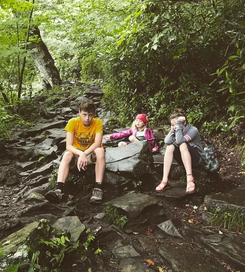
Mount Pisgah's 5721 peak, which is readily visible from much of downtown Asheville, is home to the transmission tower for WLOS-TV, channel 13. A rocky, steep ascent through tunnels of mountain laurel, rhododendron, and hardwoods leads to 360-degree vistas on the summit route.
Beginning from the back of the parking area on the south side of the parkway, the originally flat and rocky track traverses over the Buck Spring tunnel across the BRP through high elevation hardwood forest. The initial part of the hike gains only about 200', while the other part gains more than double that of 521'. The abrupt part of the trail is nearly a very rocky staircase through mountain laurel thickets as well as stands of differing hardwoods.
15. Catawba Falls River Trail
- Distance: 3.7 km
- Elevation Gain: 117 m
- Route Type: Out & back
- Difficulty Level: Moderate
The hike to the stunning Catawba Waterfall and the Catawba River's sources is comparatively level and at the trailhead is a sizable parking area. Numerous little side paths link to the historic buildings along the trail, which date back to the 1920s.
One of the nicest and most comfortable hikes in McDowell County close to Asheville is this trail. Before reaching the Upper Catawba Falls, the route finishes at Catawba Falls. The hike comes to an end at the foot of a massive moss-covered cliff, where Catawba Falls drops into a clear, cold pool below with whitewater and misty tendrils.


