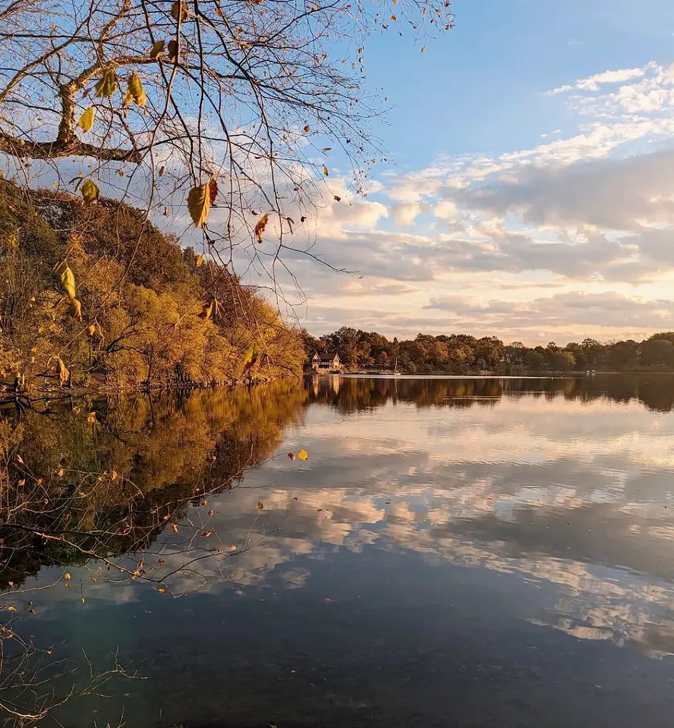
Boston, a city steeped in history and culture, is also a haven for outdoor enthusiasts. Nestled amidst the bustling urban landscape, the city offers a surprising variety of hiking trails and scenic paths that cater to all experience levels.
Boston's Freedom Trail, Charles River Pathway Short Loop, Boston Harbor and Castle Island, Jamaica Pond, and Deer Island Trails are some of the popular trails of the city. Hence, here we have listed the 18 best trails and hikes in Boston.
1. Boston's Freedom Trail
- Distance: 5.0 km
- Elevation Gain: 44 m
- Route Type: Point-to-point
- Difficulty Level: Easy
This popular hike, which takes around an hour to finish is an easy trail and will help you discover about the revolution's beginnings and Boston's rich past. The Freedom Trail is more than just a list of historical American Revolutionary War places or a recommended route linking Boston's distinctive neighborhoods.
The route honors well-known historical individuals including Paul Revere, John Hancock, and Ben Franklin, and proceeds along a red path on public sidewalks. Past and present collide in front of your eyes in history-loving Boston, not as a recreation but as open-access living history.
2. Charles River Pathway Short Loop
- Distance: 4.8 km
- Elevation Gain: 7 m
- Route Type: Loop
- Difficulty Level: Easy
This easy hike follows the lovely and historic Charles River on both the Boston and Cambridge sides as it heads towards Boston Harbor, introducing you to some of the city's amazing waterways. This trip offers some of the city's best views and is a great way to get started on paved bike lanes.
At the northeast end of the route, in the asphalt parking areas off Cambridge Street, there don't seem to be any marked accessible places. The Charles/MGH Red Line Station is reachable, nevertheless. The trail is smooth, with a pavement surface that is usually at least 4 feet wide. This trail can be completed in less than one hour.
3. Boston Harbor and Castle Island

- Length: 3.5 km
- Elevation Gain: 11 m
- Route Type: Loop
- Difficulty Level: Easy
You won't want to miss this wonderful, family-friendly, paved walk around a causeway to a historical fort. Just south of Boston, this is a stunning region. After passing a beach and a WWII memorial, you will go around an enclosed harbor to reach one of the most well-known forts in the nation, which was constructed to protect Boston.
A picnic on the grounds surrounding the fort is another great idea. Look out for kiteboarders zipping over the water and planes taking off from Logan Airport. It only takes about forty minutes to finish.
4. Jamaica Pond
- Length: 2.4 km
- Elevation Gain: 14 m
- Route Type: Loop
- Difficulty Level: Easy
This loop circles Olmstead Park's picturesque Jamaica Pond. This small area of wilderness is located just outside the Brookline district, although it is still close to the activity of the city.
There are several places to pause and enjoy the pond's vista. Look out for different bird species, such as the vibrant Wood Ducks that frequent the pond. This trial won't take more than thirty minutes to finish.
5. Deer Island Trail
- Length: 4.3 km
- Elevation Gain: 18 m
- Route Type: Loop
- Difficulty Level: Easy
Paved and with relatively little elevation change, this walk gives breathtaking views of the surrounding islands, Winthrop, and the ocean. At the northwest end of the walk, in the little paved parking lot off Tafts Avenue, two places are classified as accessible.
They each have a striped access aisle and are van-accessible. The surface of the trail is smooth, usually at least 4 feet wide, and paved with asphalt or concrete. Some of the routes have a painted dividing line that narrows the space. This trail takes about fifty minutes to finish.
6. Boston's Emerald Necklace Trail
- Distance: 25.9 km
- Elevation Gain: 83 m
- Route Type: Loop
- Difficulty Level: Moderate
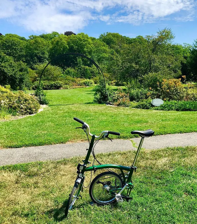
Experience the famed park system designed by Frederick Law Olmsted on this cycling tour through the historic Emerald Necklace. This network of gardens, reserves, and open space is like a haven in the heart of a busy metropolis, stretching from the shaded boulevard on Commonwealth Avenue to the common shores of Jamaica Pond to the meandering trails of the Arnold Arboretum.
It takes 4 hours and 50 minutes on average to finish and is generally regarded as a moderately hard course. Although this is a well-liked trail for road biking, hiking, and bird watching, you can still find some peace during the slower periods of the day. March through November is when this walk is most enjoyable. Dogs are allowed, but they need to wear leashes.
7. Commonwealth Ave Monument Tour
- Distance: 3.5 km
- Elevation Gain: 4 m
- Route Type: Out & back
- Difficulty Level: Easy
A lovely walk from Hereford Street to the Public Garden. Nine distinct monuments honoring occasions and figures that altered the course of Boston's and the country's history will pass in front of you.
Starting at the Fenway exit off Storrow Drive, you will finish a mile later at the Boston Public Garden downtown. Connecting the Fens and downtown Public Garden, the Commonwealth Avenue Mall is the narrowest stretch of the Emerald Necklace Path in Boston.
8. Flagstaff Hill
- Distance: 2.7 km
- Elevation Gain: 21 m
- Route Type: Loop
- Difficulty Level: Easy
Boston's Flagstaff Hill is a popular trail that attracts large numbers of tourists, particularly during pleasant weather. People enjoy the lovely surroundings, even if the places can get very crowded.
September is usually a great month for outdoor activities because of its nice walking conditions, colorful fall foliage, and mild temperatures. Flagstaff Hill is usually regarded as an easy route because it takes 33 minutes on average to finish.
9. Millenium Park
- Distance: 6.0 km
- Elevation Gain: 53 m
- Route Type: Loop
- Difficulty Level: Easy
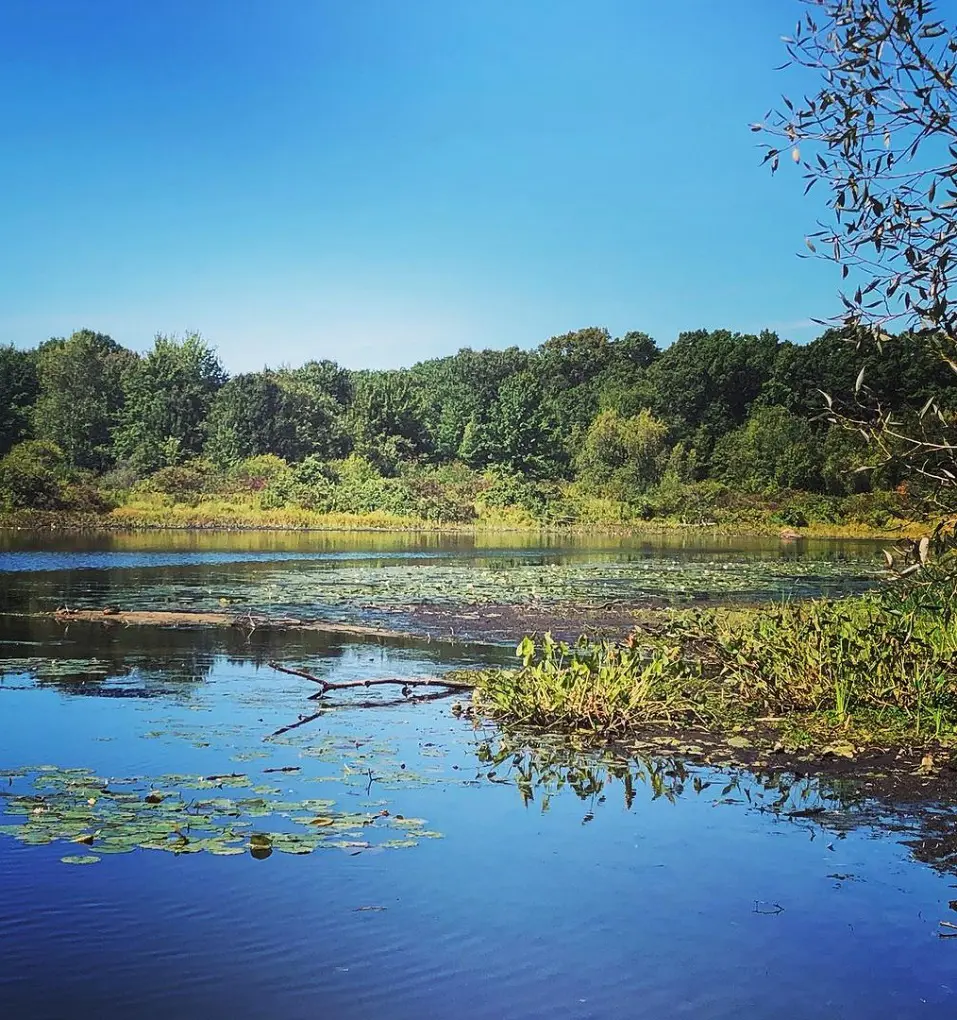
A quiet and easily accessible outdoor experience can be found at Boston, Massachusetts's Millennium Park, a 6.0-kilometer loop walk. This spacious, paved area with a smooth paved surface is perfect for cyclists, pedestrians, and people with mobility issues. It also has allocated parking places.
This year-round trail is dog-friendly and popular for road riding, fishing, and bird watching. Dogs must be kept on leashes. For visitors of all ages and abilities, Millennium Park provides a warm and inclusive environment with its blend of accessibility, natural beauty, and recreational opportunities.
10. Neponset
- Distance: 5.1 km
- Elevation Gain: 25 m
- Route Type: Out & back
- Difficulty Level: Easy
Only a short distance from Boston, Massachusetts, is the peaceful and easily accessible Neponset River Trail. This 5.1-kilometer out-and-back track is well-known for its serene atmosphere, varied wildlife, and gorgeous scenery.
March through November are the ideal months to explore the Neponset River Trail because of the pleasant weather and peak of the area's natural splendor. Dogs are permitted on the path, but they must respect other trail users and animals by keeping them on a leash.
11. Lost Emerald Necklace Loop Trail
- Distance: 3.1 km
- Elevation Gain: 3 m
- Route Type: Loop
- Difficulty Level: Easy
The Lost Emerald Necklace Loop Trail provides an enjoyable diversion from Boston's busy city life. This 3.1 km loop trail offers breathtaking views of the city skyline and the tranquil Jamaica Pond as it winds through the lovely Emerald Necklace park system.
Along the route, visitors can take in the serene atmosphere created by the park's abundant vegetation, ancient buildings, and variety of fauna. For those looking for a relaxed outdoor experience in the middle of the city, the well-maintained track is perfect for hikers of all skill levels.
12. Boston's Black Heritage Trail
- Distance: 2.1 km
- Elevation Gain: 25 m
- Route Type: Point-to-point
- Difficulty Level: Easy
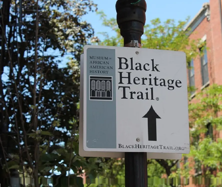
The 1.3-mile Black Heritage Trail traces the history of the African-American population that lived mostly on the north slope of Beacon Hill in Boston during the 19th century. It is the biggest assemblage of historic sites that document Black life in a free community prior to the Civil War.
The African Meeting House and the 54th Regiment Memorial are two of the trail's highlights. This trail takes about 28 minutes on average to complete and is regarded as an easy route.
13. East Boston Greenway
- Distance: 4.0 km
- Elevation Gain: 7 m
- Route Type: Point-to-point
- Difficulty Level: Easy
This path is nicely paved and marked. Belle Isle Marsh, Memorial Stadium, Bremen Street Park, and Wood Island Bay Marsh are all connected by this East Boston linear trail. Marginal Street, Bremen Street Park, or Constitutional Beach are good places to start and there is free parking on either end.
At the southwest end of the route, there is paved street parking on Marginal Street; but, it is not apparent where the nearest designated accessible spaces are. At the northeast end of the walk, in the paved parking lot off Constitution Beach Road, two places are labeled as accessible. They both have striped access aisles and are van-accessible.
14. Piers Park and East Boston Memorial Park Loop
- Distance: 6.6 km
- Elevation Gain: 16 m
- Route Type: Loop
- Difficulty Level: Easy
Starting on Marginal St. close to Piers Park, this is a short and simple walk. After 8 a.m., non-resident parking is available for free for two hours. Proceeding east on Marginal Street, you will pass by the boatyard and arrive at the Navy Fuel Pier, which is dog-free.
Turn left and proceed past the yacht club at Jeffries Point. Down to the finish, follow the harborwalk. This is a great spot to see Boston from across the water. Either go back to the boatyard by following your original route or carry on via Logan Airport, passing the auto rental office.
Once you reach the Bremen St dog park, continue walking through East Boston Memorial Park. You can turn left onto the East Boston Greenway from here.
15. Boston Walking City Trail: Section 1
- Distance: 13.4 km
- Elevation Gain: 135 m
- Route Type: Point-to-point
- Difficulty Level: Easy
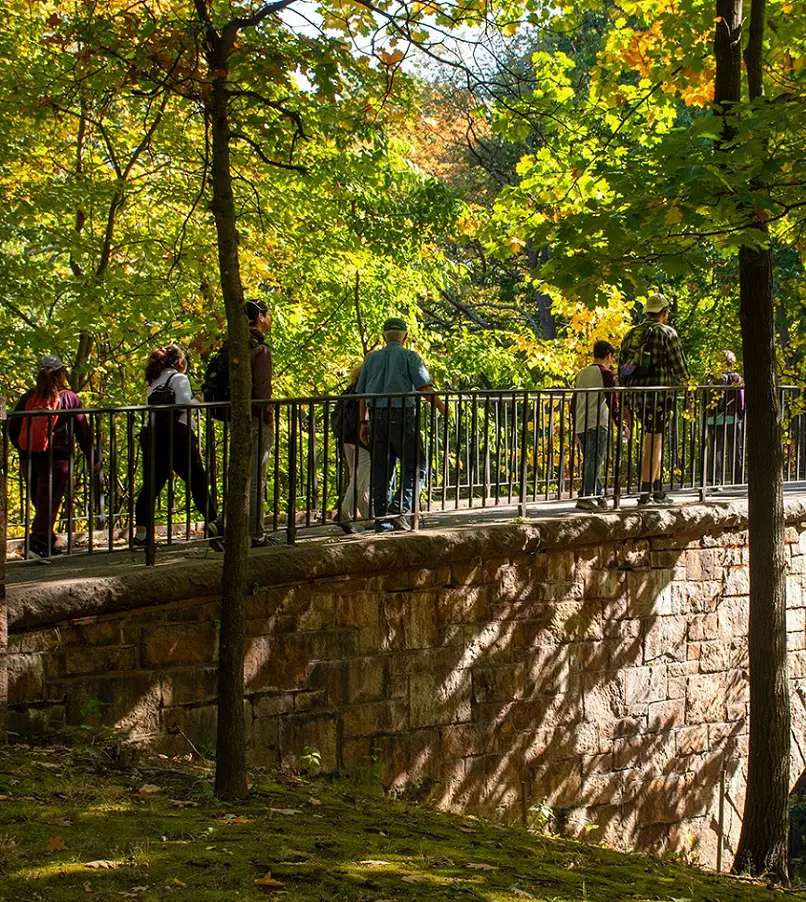
The first section of the Boston Walking City Trail is a peaceful and beautiful outdoor experience. Near Boston, Massachusetts, this 13.4-kilometer point-to-point track is well-liked by runners, walkers, and birdwatchers looking for a peaceful retreat. The trail, which is rated as easy overall, takes about two hours and forty-seven minutes to finish.
Visitors can anticipate a quiet and unhindered tour because of its relatively remote location. When the weather is most favorable, which is between July and November, is the ideal time to start this trek. While on the route, dogs are allowed as long as they are leashed for the protection of both people and animals.
16. Southwest Corridor Path
- Distance: 2.3 km
- Elevation Gain: 2 m
- Route Type: Out & back
- Difficulty Level: Easy
A linear park that stretches from the Back Bay to Forest Hills is the Southwest Corridor Park. The park is a street-level greenway that connects South End, Back Bay, Roxbury, and Jamaica Plain. Delight in this 2.3-kilometer, round-trip path close to Boston, Massachusetts.
It takes an average of 24 minutes to complete and is generally regarded as an easy route. Dogs are welcome inside, but they have to be leashed.
17. City Hike Boston 2021
- Distance: 13.4 km
- Elevation gain: 58 m
- Route Type: Point-to-point
- Difficulty Level: Easy
City Hike is a fundraising event for the Sierra Club, the nation's largest and most prominent grassroots environmental organization. The mission of the Sierra Club is to support people in advocating for fair, practical, and bold measures to address the climate emergency.
This yearly trek allowed hikers to experience the variety of Boston's environments, from calm parks to busy cityscapes, while also bonding with other outdoor lovers.
18. Bremen Street Park Walk
- Distance: 1.8 km
- Elevation Gain: 1 m
- Route Type: Loop
- Difficulty Level: Easy
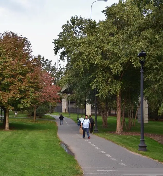
A peaceful diversion from the busy activity of the city is provided by the Bremen Street Park Walk, a winding circle through the lovely Bremen Street Park in Boston. This moderately paced, 1.8-kilometer route has little elevation increase, making it appropriate for runners of all skill levels.
Walkers are rewarded with a beautiful fusion of urban services and natural beauty as they set out on this excursion. The park's well-kept trails meander through verdant vegetation, creating a tranquil atmosphere.
While traveling, guests can take in the serene sounds of the outdoors and occasionally get views of Boston's cityscape. Due to its easy difficulty level, families, casual strollers, and anyone looking for a peaceful outdoor experience can all enjoy this walk.


