There are several hiking trails in Oregon, a state well-known for its astonishing scenery and varied ecosystems, to accommodate hikers of all skill levels. Hiking Oregon's trails is a special way to see the natural splendor of the state, from its untamed coasts to its stunning mountains and verdant woods.
Every outdoor enthusiast may find something to enjoy on Oregon's hiking trails, whether they're looking for a hike in a tranquil woodland or a strenuous climb to a beautiful summit. Hence, the best trails and hikes in Oregon are listed below:
1. Trail of Ten Falls
- Distance: 11.9 km
- Elevation Gain: 360 m
- Estimated Time: 3h 21m
- Difficulty Level: Moderate
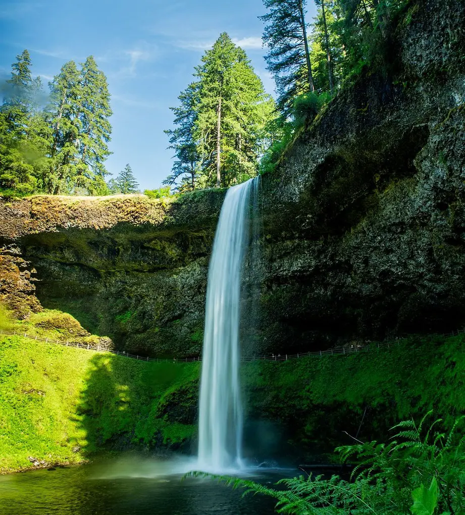
Situated less than an hour's drive from Salem, Silver Falls State Park is an exquisite natural wonderland. With only a moderate degree of difficulty, the Trail of Ten Falls is among the good hikes in Oregon and is a well-liked track to view every waterfall and the route itself combines the Rim Trail with the Canyon Trail.
The South Falls Lodge Trailhead is where you'll begin. The loop can be completed in any direction and there are numerous other trailheads as well, some of which don't charge for parking.
There is an opportunity to shorten the route if necessary, and there is no notable height increase. This is a family-friendly path. Your path may be longer than what is shown here if you intend to see every waterfall.
2. Multnomah Falls Trail
- Distance: 3.7 km
- Elevation Gain: 245 m
- Estimated Time: 1h 30m
- Difficulty Level: Moderate
Multnomah Falls one of the best hikes in Oregon near Portland, is also the tallest waterfall in Oregon at 620 feet, is a fantastic sight that is only around 30 minutes from Portland. The Pacific Northwest's most popular destination for outdoor recreation is this one as this route is a lovely hike that climbs quickly but steeply to the top of the falls.
Once parked, you may easily visit Multnomah Falls' iconic photo opportunity. Coming ahead of time (if possible) is advised to get the parking space and avoid high traffic.
It's only a short scramble after the entrance to the bridge that passes in front of the waterfall. The last part of the trek is to the summit, where there is a little platform overlook that is well worth the effort.
3. Angel's Rest
- Distance: 7.2 km
- Elevation Gain: 454 m
- Estimated Time: 2h 51m
- Difficulty Level: Hard
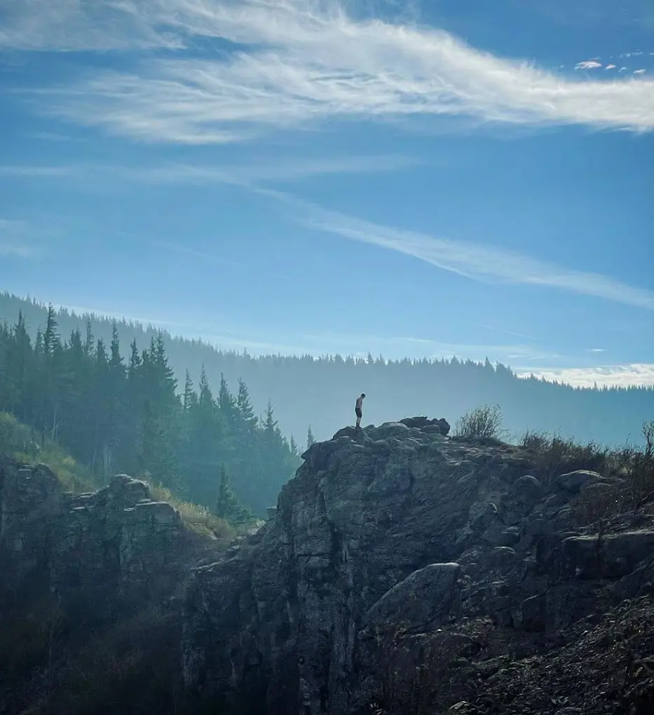
Hikers seeking a moderate elevation increase, a short distance to cover, and an amazing reward at the summit, 360-degree vistas of Portland's northern metro area and the Columbia River Gorge, should consider Angel's Rest. The trailhead's parking area is kept in excellent condition and is conveniently close to Interstate 84.
Parking can be challenging after 10:00 A.M. due to the trailhead's popularity throughout the year, but, there is more parking available on the road a few hundred feet west of the trailhead. The trail begins in the dense woodland and travels along dirt, stony, and gnarly paths with a fairly constant elevation climb.
4. Misery Ridge and River Trail
- Distance: 5.8 km
- Elevation Gain: 277 m
- Estimated Time: 1h 59m
- Difficulty Level: Hard
In Smith Rock State Park, this is the most traveled trail. In one hike, you'll enjoy views of the ridge, a strenuous ascent, and a pleasant hike beside a river. You might be able to park right at this trailhead, depending on when you arrive.
As you begin this walk at the park's main entrance, you'll have spectacular views of the Crooked River winding through the area. You will descendhill and cross a little river crossing. Take a right at this point to begin ascending Misery Ridge's backside.
To your left, you'll probably see rock climbers. For most hikers, this ascent will be challenging because of its persistent nature. This route is not recommended for young children or pets that are off-leash due to the occasional steep drop-offs.
5. Latourell Falls Loop
- Distance: 3.2 km
- Elevation Gain: 196 m
- Estimated Time: 1h 14m
- Difficulty Level: Moderate
The Latourell Falls Loop is a reasonably demanding hike that leads to Upper Latourell Falls via Guy W. Talbot State Park, and it's only a short drive from Portland's downtown. The third-tallest waterfall in the Columbia Gorge is reachable via this well-traveled trail.
The George W. Joseph State Natural Area, so-called in honor of the family who donated the area to the state in 1934 and 1942, includes the upper falls as well as a portion of the trail. Located immediately off the Historic Columbia River Highway is the Latourell Falls Trailhead, where the hike begins.
It is necessary to wear appropriate footwear because the trail gains most of its elevation at the start of the trek and because certain parts can become a little muddy and slippery.
6. Mirror Lake Loop Trail

- Distance: 6.8 km
- Elevation Gain: 205 m
- Estimated Time: 1h 55m
- Difficulty Level: Moderate
In the center of Oregon's natural magnificence, the family-friendly Mirror Lake Loop Trail in Mount Hood National Forest provides a tranquil and gorgeous hike. Hikers can begin their journey from the parking lot and trailhead to the serene Mirror Lake, which is the ideal location for a picnic or a cool swim in the warmer months.
For those of all ages, the trail's varied terrain, which includes meadows, spanned streams, and an abundance of wildflowers in the spring, makes it visually pleasing. Winter hikers are encouraged to use crampons or microspikes and carry poles to securely traverse the possibly snowy and icy conditions, even though the track is normally easy to follow.
7. Wahclella Falls Trail
- Distance: 3.1 km
- Elevation Gain: 94 m
- Estimated Time: 52m
- Difficulty Level: Moderate
Conveniently situated off Route 84/Columbia River Gorge Highway, the Wahclella Falls Trail provides a pleasant stroll to one of the area's most popular waterfalls. Along Tanner Creek, the trail progressively rises, offering a scenic trek through verdant forests and along the creek's gushing waters.
Hikers can hear the thunderous sound of Wahclella Falls becoming closer as they get closer to this amazing natural beauty. On weekends, the trailhead is frequently busy, so it's best to get an early start to beat the crowds and enjoy the peace of the surroundings.
8. Eagle Creek to Punchbowl Falls
- Distance: 7.7 km
- Elevation Gain: 311 m
- Estimated Time: 2h 27m
- Difficulty Level: Moderate
There is a sensational hike through the center of Oregon's Columbia River Gorge on the Eagle Creek Trail, which leads to Punchbowl Falls. This dramatic trail passes many tumbling waterfalls, hugs the edge of cliffs, and goes through verdant old-growth forests.
Although the trail is typically family-friendly, care should be used when hiking with small children or pets in spots where there is a slight risk of falls. The trail's engineering, with its blasted ledges, showcases Eagle Creek's tremendous flow and offers breathtaking views of the canyon below.
For those who enjoy the outdoors and want to have a unique outdoor experience, this charming hike is highly recommended.
9. Tom, Dick and Harry Mountain
- Distance: 13.2 km
- Elevation Gain: 523 m
- Estimated Time: 4h 9m
- Difficulty Level: Moderate
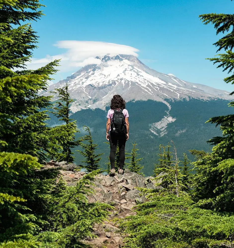
A popular spot with amazing views of Mount Hood, Mount Adams, Mount Rainier, Mount St. Helens, and Mount Jefferson is Tom, Dick, and Harry Mountain. After parking at the Mirror Lake Trailhead close to Government Camp, hike up the peak via the well-kept Mirror Lake Trail #664.
The park views the first quarter-mile of the path as ADA-accessible. The trail then gradually climbs through steep, forested terrain. To park at the Mirror Lake Trailhead in the winter, you must have a Sno-Park Permit, which costs $5 per day and must be collected in advance.
10. The Thumb via The Knoll
- Distance: 6.3 km
- Elevation Gain: 296 m
- Estimated Time: 2h 9m
- Difficulty Level: Moderate
This route heads off on a scruffy social trail to The Thumb, which enters the Siuslaw National Forest after 1.25 miles on Lincoln City's Knoll Loop. This unauthorized, user-made trail climbs slowly to The Thumb Overlook, then descends steeply to The Thumb's base before angling sharply upward for the last ascent.
The Overlook offers some of the most breathtaking views on the Oregon coast. So think of The Overlook as your turning point. Ruts and erosion are only made worse by climbing The Thumb. Fall hazards such as loose tread and steep exposure increase the risk of catastrophic slips and falls.
11. Ramona Falls Trail
- Distance: 11.4 km
- Elevation Gain: 319 m
- Estimated Time: 3h 7m
- Difficulty Level: Moderate
An hour and a half from Portland, Ramona Falls provides an amazing trekking experience in the Mount Hood Wilderness. The trail is known for being easily accessible and for its breathtaking scenery. It has a gentle ascent and breathtaking views of the surroundings.
Although the river crossing close to the start can be difficult, particularly in high water, it is usually doable.
With views of Mount Hood and the neighboring river, the lollipop-shaped loop starts at the Ramona Falls Trailhead and follows the Sandy River Trail. Hikers can opt to explore the Pacific Crest Trail or the Ramona Falls Trail at a trail intersection after crossing the river.
12. Tamanawas Falls Trail
- Distance: 5.5 km
- Elevation Gain: 177 m
- Estimated Time: 1h 35m
- Difficulty Level: Moderate
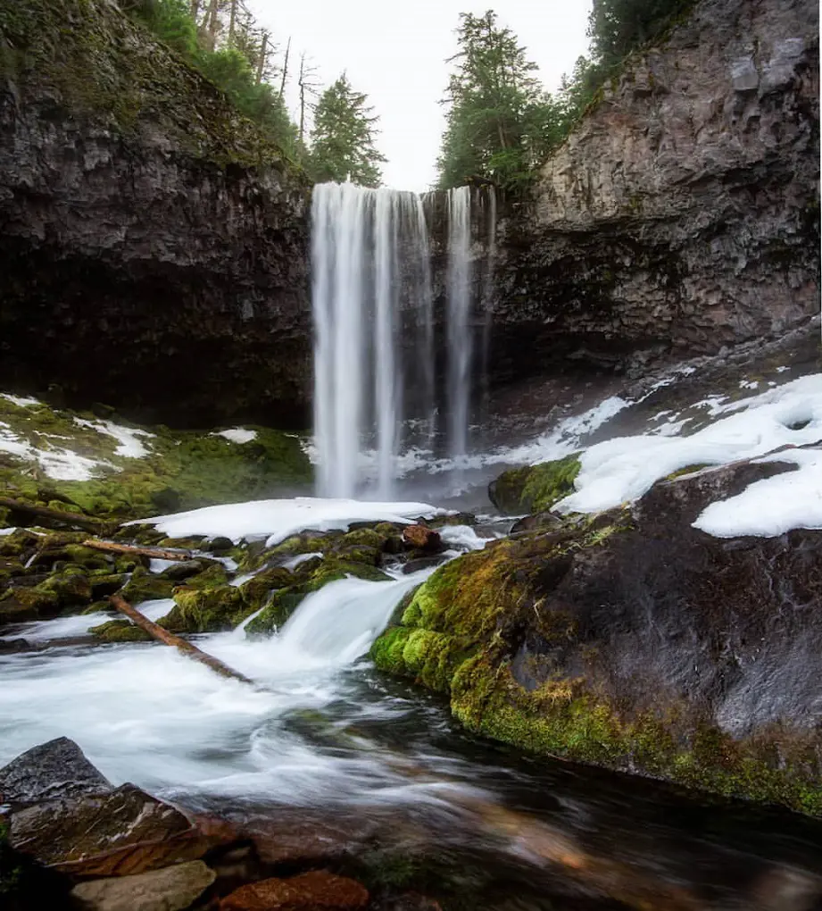
The Tamanawas Falls Trail takes hikers through the center of the Mount Hood National Forest on a scenic path. Hikers start on the East Fork Trail at the trailhead, traversing the Hood River and going into a peaceful Douglas fir forest. The Tamanawas Falls route 650A begins at a log bridge that is eventually reached by the route.
If you're a nature lover looking for an unforgettable outdoor experience, you have to check out this popular trail. During the winter, microspikes are advised to guarantee safe travel over possibly icy terrain.
13. Cape Falcon Trail
- Distance: 7.2 km
- Elevation Gain: 177 m
- Estimated Time: 1h 54m
- Difficulty Level: Moderate
A beautiful loop with amazing views of the ocean can be found on the Cape Falcon Trail. Even though the track is usually kept up, hikers should be ready for muddy conditions, especially on cloudy days. The route is ideal for most fitness levels because it has several curves and mild inclines and drops.
But the part leading to the trail's main destination, the Cape Falcon Lighthouse, can get a little overgrown at times, and you'll need trekking poles and sturdy shoes to make your way through the tree roots that border the path. The Cape Falcon Trail offers a satisfying and dramatic seaside experience despite these few difficulties.
14. Crooked River Trail
- Distance: 6.9 km
- Elevation Gain: 99 m
- Estimated Time: 1h 34m
- Difficulty Level: Easy
Relish a lovely chance to fully appreciate Smith Rock State Park's natural splendor by hiking the Crooked River Trail. This easy walk offers breathtaking views of the park's recognizable rock formations as it meanders alongside the Crooked River.
Hikers can admire the amazing skills of climbers as they make their way down the path, mounting the massive rocks. The trail offers numerous pleasant locations along the route where hikers can unwind, cool down in the river, or take a well-earned food break. Families looking for a fun and beautiful outdoor experience can consider the Crooked River Trail.
15. Garfield Peak Trail

- Distance: 5.6 km
- Elevation Gain: 328 m
- Estimated Time: 2h 8m
- Difficulty Level: Moderate
Due to its close proximity to Applegate Peak, Crater Lake Lodge, and Rim Village, this hiking trail is among the most well-liked in Crater Lake National Park.
The entire lake, as well as other high Cascade Range Landmarks to the north and the Klamath Basin and southern Cascade Landmarks to the south, are spectacularly visible from a panoramic viewpoint.
This quick, steep hike directly climbs out of the Crater Lake Lodge parking lot. After about a half mile, you will be rewarded with vistas of America's deepest lake, and the blue hue grows stronger as you rise.
16. Cape Lookout Trail
- Distance: 7.6 km
- Elevation Gain: 247 m
- Estimated Time: 2h 12m
- Difficulty Level: Moderate
Expect stunning views of the Pacific Ocean, a pleasant climb up the ridge of Cape Lookout, and plenty of whale-watching possibilities on this trip. Hiking up a ridge bordered with cliffs hundreds of feet above the lake below is what you can expect.
You should prepare for certain sections to always be quite muddy and slippery; therefore, it's a good idea to wear waterproof boots or other robust footwear. In muddy terrain, hiking poles are advised if you find it difficult to jump over huge puddles. Only in the summer, when the trail is at its easiest, would this be kid-friendly.
17. The Knoll Loop
- Distance: 4.5 km
- Elevation Gain: 192 m
- Estimated Time: 1h 28m
- Difficulty Level: Moderate
Situated close to Lincoln City, Oregon, The Knoll Loop gives a beautiful hike with amazing coastal scenes as well as distinctive geological builds. Hence, the trail that leads to God's Thumb is no longer attainable for hikers because of the concerns regarding safety and the terrain's dangerous nature.
Moreover, the Knoll Loop's trailhead has been shifted to NE Devils Lake Blvd but the good thing is that now parking is available in that area.
18. McNeil Point Trail
- Distance: 13.7 km
- Elevation Gain: 810 m
- Difficulty Level: Hard
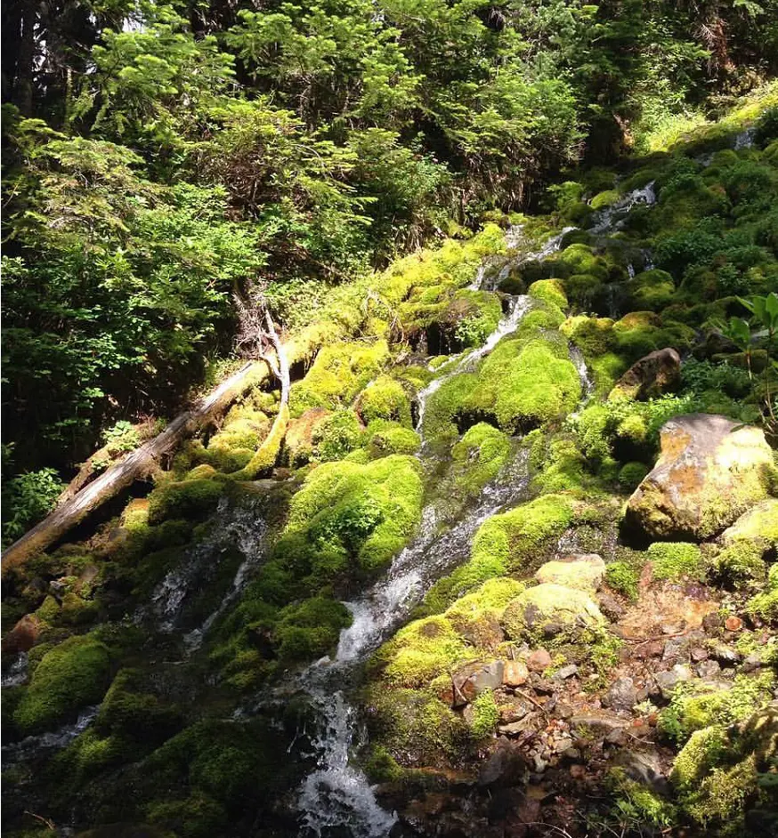
This challenging hike starts at the Top Spur trailhead and travels through a lovely, peaceful forest. You cross closed-in vegetation early on as you straddle Bald Mountain, but as you ascend, you'll be above the tree line and the track gets very steep and demanding.
McNeil Point's historic rock shelter is a wonderful place to rest and have lunch. On a clear day, Mt. Rainier and Mt. Adams are visible from this location. This trail is exceptional for day hiking in the area since it offers some of the best views of Mt. Hood in the Pacific Northwest.
19. Cleetwood Cove Trail
- Distance: 3.4 km
- Elevation Gain: 186 m
- Estimated Time: 1h 15m
- Difficulty Level: Moderate
The sole lakeshore access available in Crater Lake National Park is via the Cleetwood Cove path. Hiking along the beach, this trail descends steeply from Rim Road to the park's sole boat pier, which provides astonishing views of the surrounding rim and the lake.
Tickets can be bought in the parking area at the top of the trail for the boat dock's lake or Wizard Island boat tours. On a hot day, this is a nice place to cool off and have a picnic with friends and family.
20. South Sister Trail
- Distance: 19.6 km
- Elevation Gain: 1,536 m
- Difficulty Level: Hard
The tallest of the renowned three-sister series and the third-tallest mountain in Oregon is South Sister. Shortly after leaving the trailhead, the trail enters the Three Sisters Wilderness. A Central Cascades Wilderness Permit is needed for both day trips and overnight stays between the Friday of Memorial Day weekend and the final Friday of September.
Those with Central Cascades Wilderness Permits might not have to pay for the parking fee if they show a valid recreation pass. South Sister is a year-round, lengthy, but easy climb that is a volcanic ridge in the summer and a comparatively easy ascent in the winter.


