Tucson is a delight for those who love to hike, as you can get down in the desert in the winter, far up in the mountains during the summer, and just need to drive a few hours to get to one of numerous preserves, parks, or wilderness areas that are accessible in less than thirty minutes from most cities.
Generally, very underestimate by hikers from Arizona, Tucson is a city that one should not be overlooked, if you are thinking of an adventerous hiking. It does not matter if you are a novice or an experienced hiker, we have covered difficulty levels ranging from easy to hard trails for hiking in Tucson.
1. Bear Canyon to Seven Falls Trail
- Distance: 13.5 km
- Elevation Gain: 326 m
- Route Type: Out & back
- Difficulty Level: Moderate
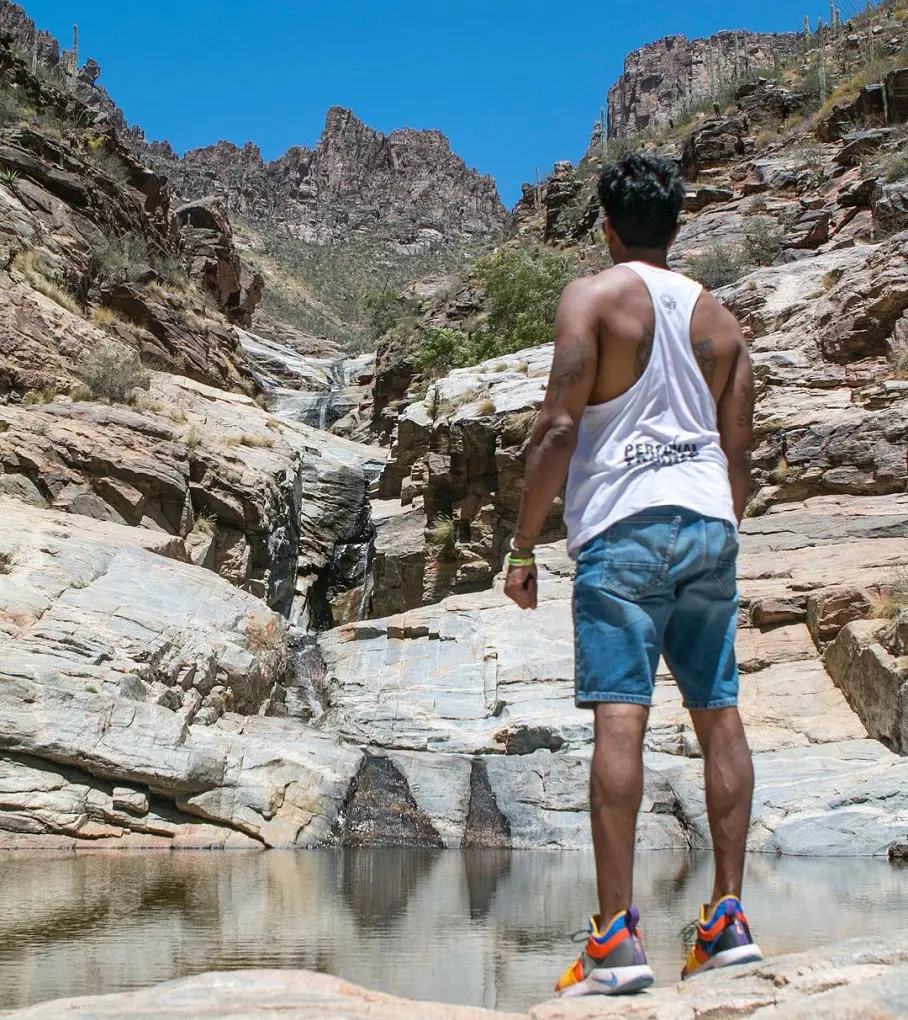
The Bear Canyon to Seven Falls Trail winds through the picturesque Sabino Canyon, climbing gradually. The path is home to an amazing number of birds and is bordered by saguaro and prickly pear cacti. After navigating the steep canyon on this climb, you will reach Broadmoor Seven Falls.
At the foot of the falls are pristine pools, and the whole area is a wonderful place to pause for a quick lunch or picnic. Hikers are advised to start the trek early in the morning and pack plenty of water because the canyon may reach extremely high temperatures in the middle of the day and late afternoon.
It becomes very crowded in the parking lot, mainly on weekends. It should take you around 3 hour and 30 minutes to finish this moderately difficult trail.
2. Seven Falls via Bear Canyon Road
- Distance: 11.3 km
- Elevation Gain: 293 m
- Route Type: Out & back
- Difficulty Level: Moderate
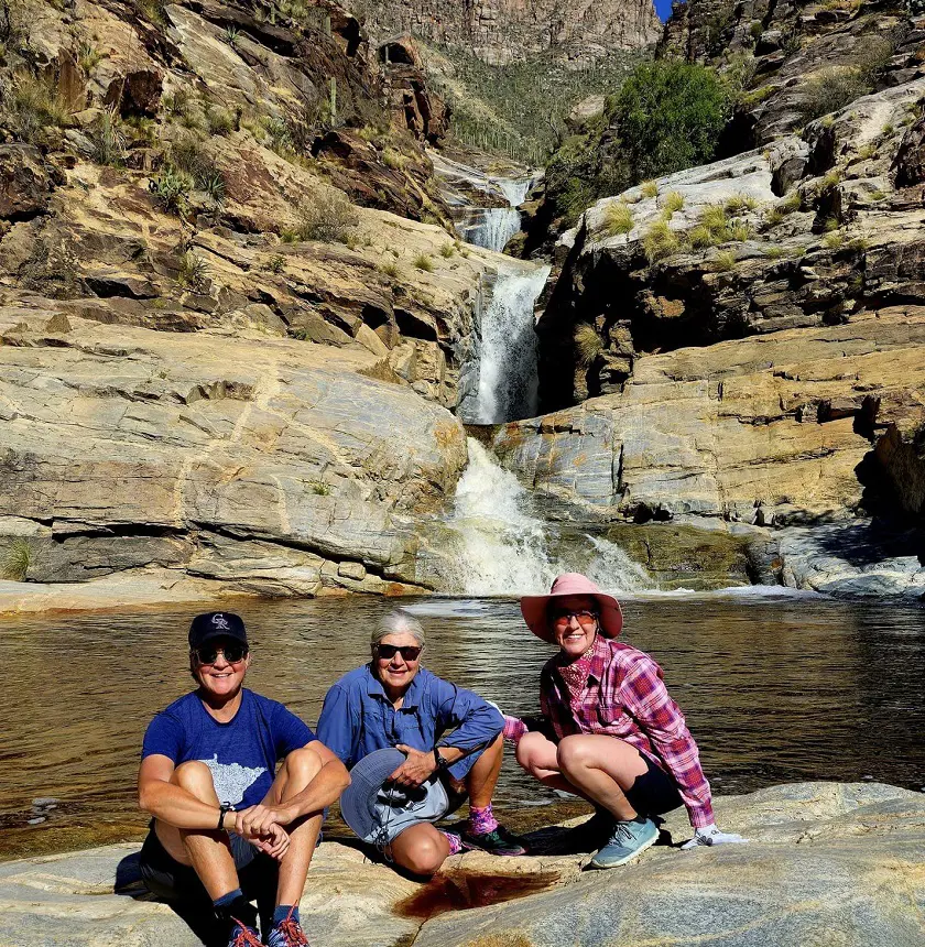
Among the best hiking trails in Tucson Arizona, it leads to the breathtaking Seven Falls from the Bear Canyon Trailhead. It is advisable to schedule your visit around the spring or after a period of significant rainfall, as these falls have a tendency to dry up throughout the summer.
Visitors can only park on surrounding residential streets between sunrise and dusk if the lot is filled due to limited parking. Although the route might be difficult to follow at times, you can find guidance in the shape of arrow rock formations and stone stairs. It is essential to have adequate hiking shoes due to the rough terrain.
3. Phoneline Trail to Blackett's Ridge and Saddleback
- Distance: 9.2 km
- Elevation Gain: 542 m
- Route Type: Out & back
- Difficulty Level: Hard
If you're in town for a short time and want to hikes with amazing views of the Coronado National Forest, this is one of the "must-see" hikes in the area. Once your vehicle has been parked, go to the Bear Canyon trailhead, which is located to the right of the visitor center.
There will be a paved tram road soon after you begin your hike. To reach a little building, turn right and stroll down the paved tram route. Proceed down the Phoneline Trail after crossing the bridge on the right.
The Blacketts Ridge Trail trailhead sign will be visible. At the summit, you'll be treated to breathtaking views of the Phoneline Trail far below you as well as of Thimble Peak to the northeast.
4. Sutherland and Canyon Loop Trail
- Distance: 3.7 km
- Elevation Gain: 60 m
- Route Type: Loop
- Difficulty Level: Easy
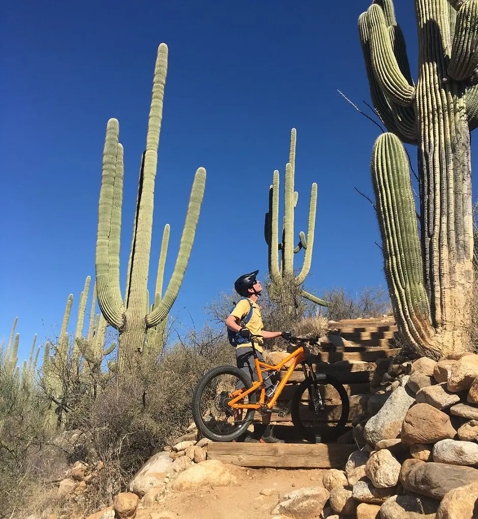
The hike is pleasant and quite straightforward, following a well-marked path. Many desert species, such as saguaro, la cholla, prickly pears, and desert bushes, may be seen along the way. Gorgeous vistas of untamed mountain ridges await you throughout the first part of the journey.
You will have to cross a wash/creek bed many times during the second part of the trip. During the monsoon season, from May to August, please exercise caution as the wash may get flooded with water.
Furthermore, it's essential to be mindful of desert animals such as scorpions and snakes. It's important to remain hydrated throughout the summer by drinking lots of water, thus it's ideal to walk early in the day.
5. Bridal Wreath Falls Trail
- Distance: 9.2 km
- Elevation Gain: 334 m
- Route Type: Out & back
- Difficulty Level: Moderate
The Bridal Wreath Falls Trail is a moderately difficult trail that is dog friendly, but you should keep them on a leash, if you plan to bring them with you. It should take you around 2 hour and 45 minutes to complete it.
This trail leads to the stunning Bridal Wreath Falls and goes through a desert environment ringed by tall saguaro cactus. The hike is made unforgettable by the striking contrast between the waterfall's surprise refuge and the rough, rocky surroundings.
The falls may not have much water after April, therefore it's preferable to see them after some rain.
6. Sabino Lake, Creek Trail, Rattlesnake Trail, and Esperero Trail
- Distance: 6.0 km
- Elevation Gain: 78 m
- Route Type: Loop
- Difficulty Level: Moderate
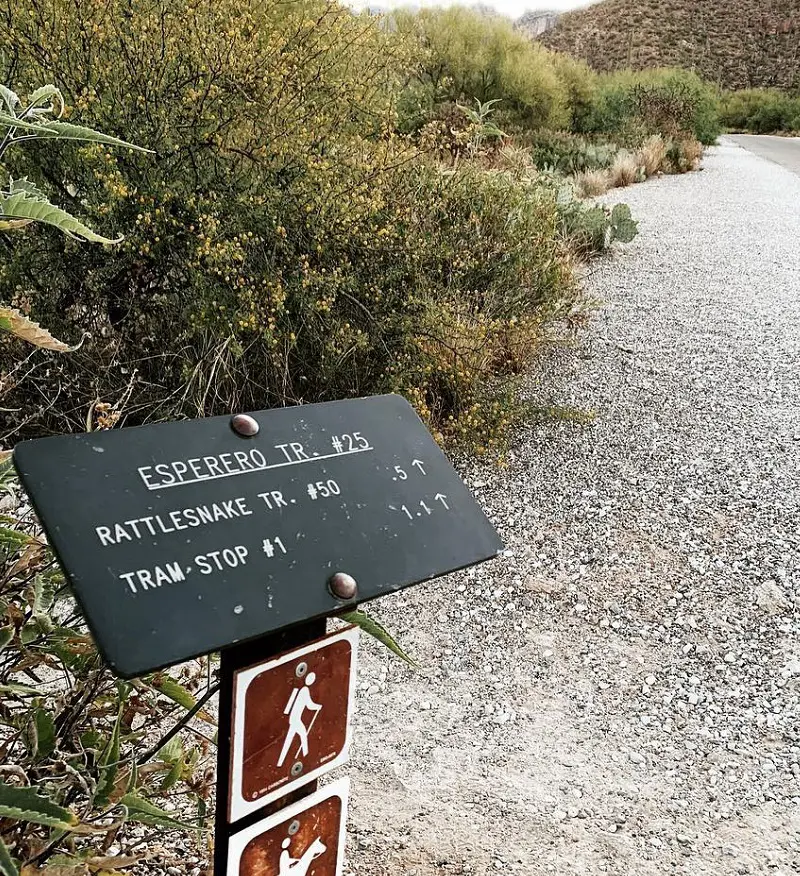
This breathtaking and daring path connects many trails inside the Sabino Canyon Recreation Area as it is a moderately difficult trail that takes around 1 hour and 20 minutes to complete and this hike is not a dog friendly trail so avoid bringing your furry friend with you in this trail.
This hike joins the Esperero Trail as it starts along the Sabino Walkway. The Rattlesnake Trail descends to the river after a series of short, lovely inclines. The width and depth of the water crossing vary according to the season. Admire the breathtaking vistas at Sabino Lake before to finishing the round.
7. Sabino Walkway Loop
- Distance: 3.7 km
- Elevation Gain: 44 m
- Route Type: Loop
- Difficulty Level: Easy
The Sabino Canyon Recreation Area is home to the Sabino Walkway Loop. It's a nice walk with beautiful views of the surrounding mountains and rocks, as well as waterways and picnic places. The track is easy to follow and well-maintained. The trail narrows near the water and expands after you pass the dam, so be prepared for occasional water crossings.
Moreover, it won't take you more than 1 hour to complete this easy trail. Unfortunately, this trail is not a dog friendly, so don't take them along with you if you are coming for hiking in this trail as it is the best hiking in Tucson.
8. Tanque Verde Falls Trail
- Distance: 3.1 km
- Elevation Gain: 134 m
- Route Type: Out & back
- Difficulty Level: Hard
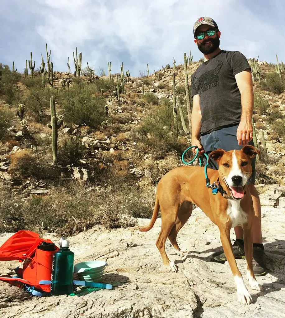
This is an extremely difficult primitive rock scramble that leads to an oasis across a dry riverbed. It is advised that experienced hikers use this path. There will be places when you need to cross the creek. Although dogs are permitted in this region, it is not recommended to bring them on this path because of the amount of scrambling that is necessary, which may be challenging for most canines.
If the rocks are wet, proceed with particular caution since slip-and-fall incidents may occur. It is advised to download the offline map to aid with navigation as the path is not well signposted.
There isn't much cover along the walk, so bring lots of drink and sun protection. The greatest times to appreciate the seasonal pools and waterfall are in the spring or after a significant downpour.
9. Tumamoc Hill Trail
- Distance: 4.7 km
- Elevation Gain: 220 m
- Route Type: Out & back
- Difficulty Level: Moderate
This route is accessible from the UA desert lab via an access road. Arriving early is recommended because this area may get rather congested, especially on weekends. This paved path offers breathtaking vistas as this trek is one of the few in the Tucson Mountain Range that allows night hiking since it is located on university land.
Because of this, it's the ideal stroll to watch the sun rise or set. The research station Tumamoc Hill was established in 1906. Travel is permitted to the top but on pavement only.
Should you choose to drive to Tumamoc Hill, kindly park your vehicle on the Anklam Road sidewalk. Parking lots at Saint Mary's Hospital and the medical offices along Anklam Road should be avoided as these areas are designated for use by doctors, staff members of medical institutions, patients, and their families.
10. Linda Vista Loop Trail
- Distance: 4.2 km
- Elevation Gain: 134 m
- Route Type: Loop
- Difficulty Level: Moderate
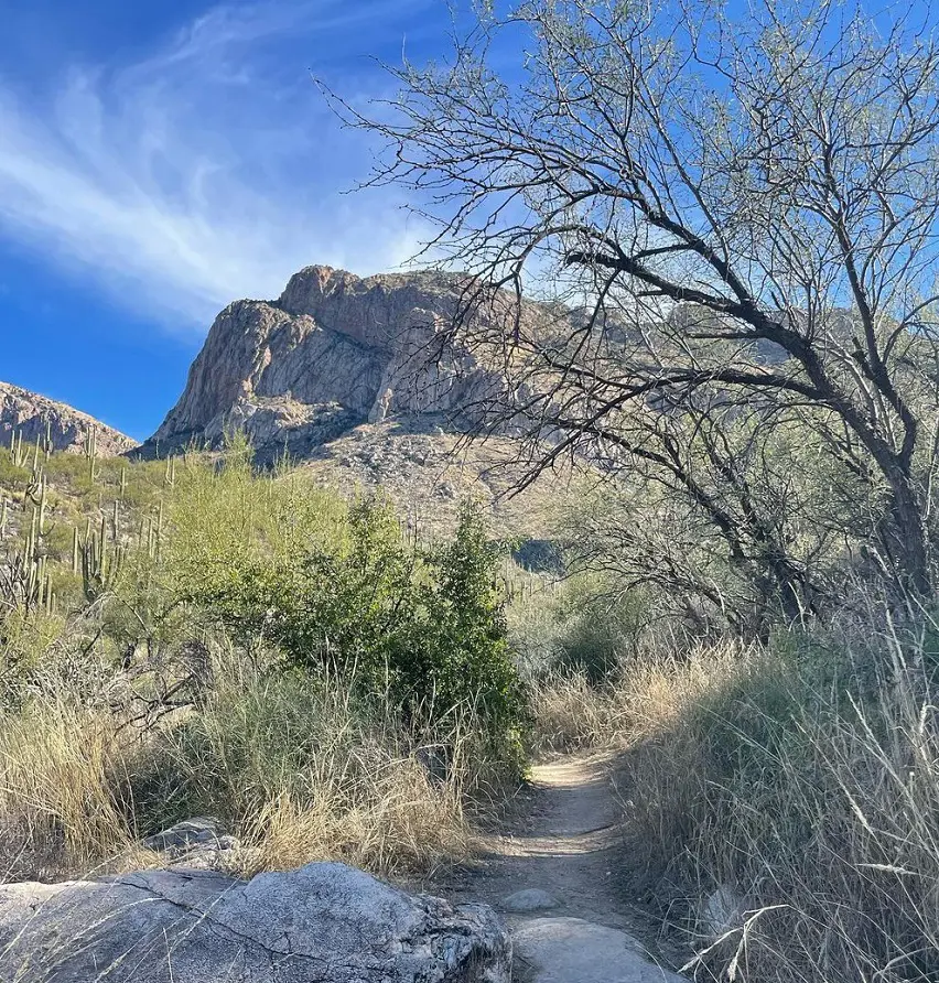
This is a great moderate climb for hiking in Tucson AZ with views of the rough mountains and stunning desert vistas. Head east on the clearly marked route towards Pusch Peak from the trailhead. On your left, the route will lead you up and into a tiny canyon, the walk comes to an end at the foot of a big peak.
So, it is worth all the challenges that you have put in, as you get to see the breathtaking view of the city at the summit. Although there are a number of side paths along the route, you won't get lost if you follow the east-to-west track.
There is plenty of parking off Oracle and Linda Vista. There are several granite stairs to climb on this hike. There are additional rock steps in the trail's second half, which goes downward. This trek can be finished in about an hour, so it's ideal if you're on a tight schedule.
11. Painted Hills Trails Park
- Distance: 6.0 km
- Elevation Gain: 105 m
- Route Type: Loop
- Difficulty Level: Easy
The Painted Hills Trails Loop is among the most easiest trails in Tucson as it takes less than 1 hour and 30 minutes to complete. This trails is a dog friendly trail so it allows dogs but you must make sure that they are on a leash all the time.
Even though this is a well-traveled hiking and walking track, there are moments during the day when you may get some peace and quiet. There is not much loose rock and the track is well defined with modest grade inclines.
12. Yetman Trail and Peak View Trail
- Distance: 5.3 km
- Elevation Gain: 192 m
- Route Type: Loop
- Difficulty Level: Moderate
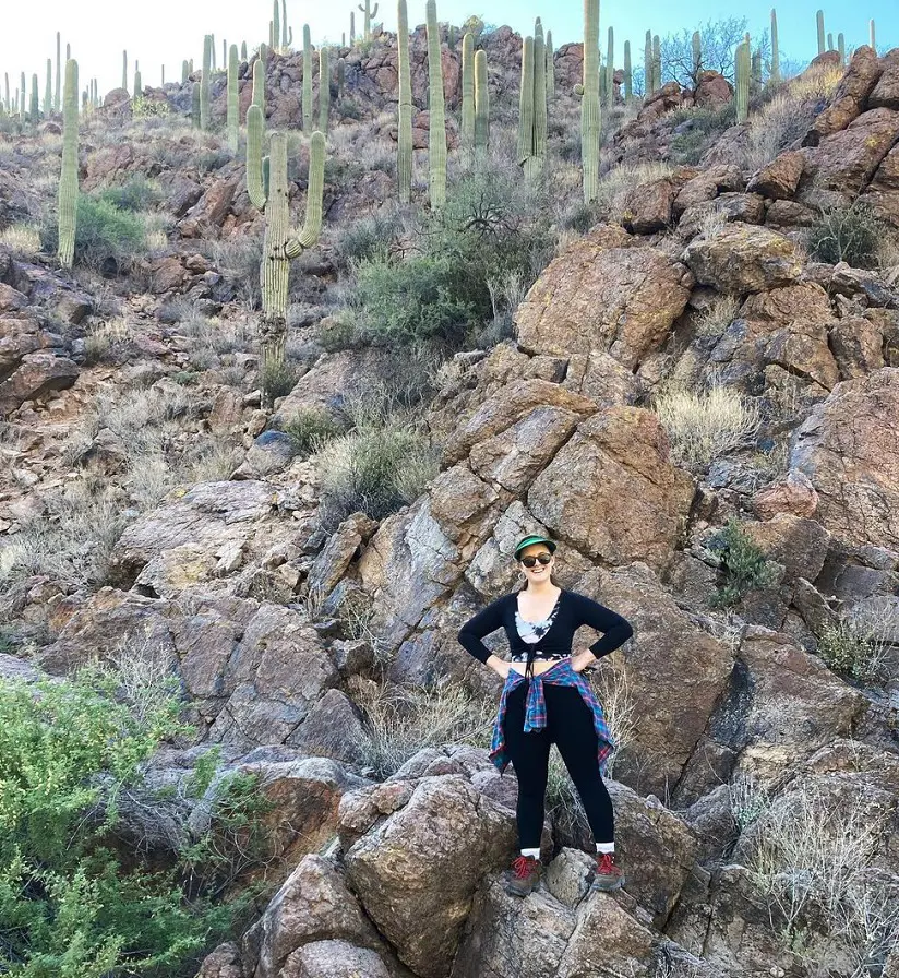
Situated inside the stunning Tucson Mountain Park, which is also home to the renowned zoo Arizona-Sonora Desert Museum and movie studio Old Tucson, the Yetman Trail provides a somewhat challenging hiking experience spanning around 12 miles in total on a well-kept trail.
There is a short ascent up and across a saddle between two mountains on this pleasant trip in the Tucson Mountains. The trek is very flat for the rest of it. There is parking for around a dozen automobiles at the trailhead, but no bathrooms.
13. Sweetwater Wetlands Loop
- Distance: 1.8 km
- Elevation Gain: 3 m
- Route Type: Loop
- Difficulty Level: Easy
One of the most significant functional, environmental, and educational locations of the City of Tucson's recovered water system is briefly circled by the Sweetwater Wetlands Loop. Built in 1996, the Sweetwater Wetlands were designed to manage backwash water from the reclaimed water facility.
The area is now a wetland that only utilizes water that has been recovered. The circle includes a little 1.0 mile portion of the 2.5 mile wetland's paths. There are around a thousand feet of paved wetland trails that are wheelchair-accessible and ADA compliant.
All ages and ability levels are welcome on this short, easy stroll through the trees. It's easy to maneuver, level, and either paved or covered with 3.4-inch gravel. Lastly, please take note that motorcycles, horses, and pets are not permitted in this area.
14. Hutch's Pool via West Fork Sabino Trail
- Distance: 12.9 km
- Elevation Gain: 360 m
- Route Type: Out & back
- Difficulty Level: Moderate
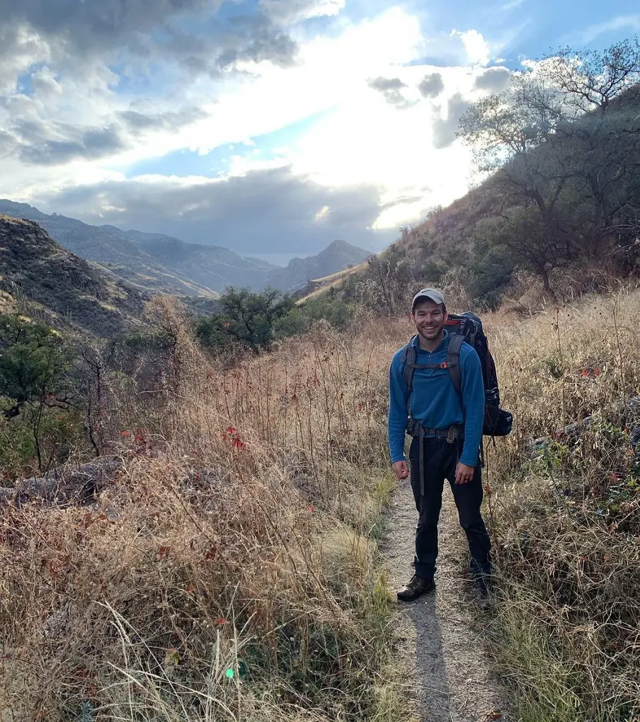
Beginner backpackers or those want to push themselves on a day trip in the breathtaking Pusch Ridge Wilderness will love this path. The trail is kept up beautifully, climbing gently to a stunning pool at the finish. Some places could be covered in buffalo grass in the summer. This doesn't take away from the trail's breathtaking vistas along the rugged landscape, though.
It should take you around 3 hour and 30 minutes to complete this moderately difficult trail and taking your dogs along with you in this trail is not allowed as its not a dog friendly trail.
15. Chiva Falls Trail
- Distance: 13.8 km
- Elevation Gain: 293 m
- Route Type: Out & back
- Difficulty Level: Hard
A challenging 8.6-mile climb near Tucson, the Chiva Falls Trail is visited by both off-road vehicles and hikers. The walk leads to a beautiful waterfall via an arid setting. This is an excellent route to explore if you enjoy seeing animals.
Bring more water than you think you'll need and wear sunscreen because the entire climb is outside in the sun without any shade. In order to keep dogs safe around ATVs, mountain bikes, and moving cars, they should also be leashed. To witness the falls in action, try scheduling this hike during the spring or just after a significant downpour.
16. Valley View Overlook Trail
- Distance: 1.3 km
- Elevation Gain: 16 m
- Route Type: Out & back
- Difficulty Level: Easy
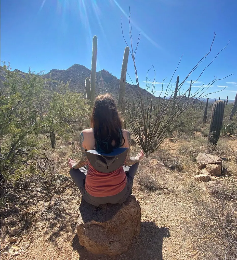
The Valley View Overlook Trail is in the Saguaro West and along the way, you'll see gorgeous saguaros and spectacular views on a nicely maintain trail. People of all ages may enjoy the short route, which makes it an excellent choice for those with little time.
But parking at the trailhead can be difficult, particularly on the weekends. Families with little children or novice hikers looking for a straightforward, easy hike to experience the great outdoors can consider this option.
17. Pontatoc Ridge Trail
- Distance: 6.6 km
- Elevation Gain: 429 m
- Route Type: Out & back
- Difficulty Level: Hard
The Pontatoc Ridge trail is a 4.1-mile, extensively crowded hard trail located in the Santa Catalina Mountains' Pusch Ridge Wilderness. Although the hike is short, it is somewhat rough and steep. Older kids should be able to enjoy this hike, while younger ones might not make it to the summit.
Bring lots of water for this walk. A GPS route that has been downloaded is helpful since there are areas of the path that are difficult to follow due to considerable traffic that has gone off-track in the past.


